Work / EDGE Industries · Under NDA
Five seconds to decide
- Role
- Founding designer, Head of Design, 2024 to now
- Team
- Design, engineering, domain experts
- Methods
- Field visits, operator interviews, workflow mapping, on-ground pilot
- Outputs
- Command centre, field mobile app, web modules, design system
EDGE Atmos is a situational awareness and decision support tool for multi-domain defence. It connects assets and sensors and turns them into intelligence for planning and engagement.
Some details stay under NDA, so this is the version I can share.
Two weeks in the field
Before designing anything, we spent two weeks with the army in Jammu and Nagrota. We studied the equipment, how information moves, digital comfort and existing software, and finalised our problem statements there.
What’s in the sky, and on the ground
The things Atmos tracks and commands, each with a 3D model on the map.
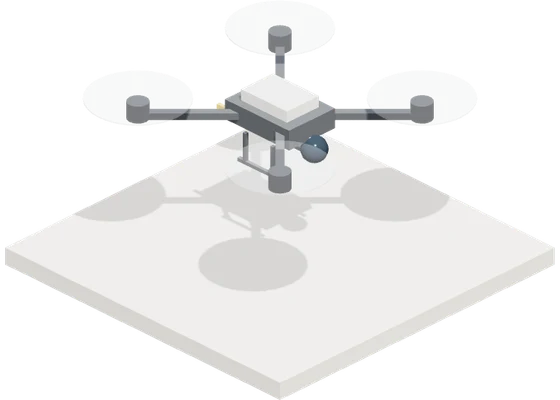
Drones, friendly or hostile.
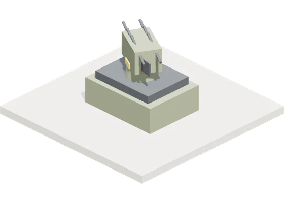
Systems that stop drones.
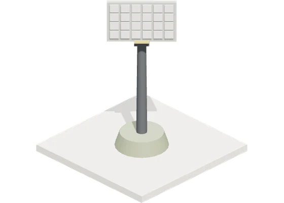
Spots objects in the air.
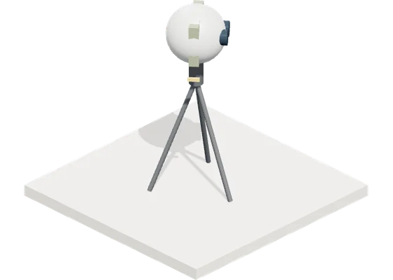
Cameras that see by day and night.
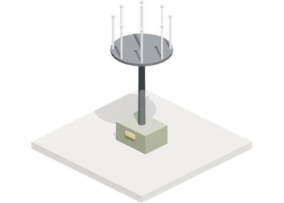
Finds a drone by its radio signal.
The problem
Threats are getting faster and more complex, while response windows keep shrinking.
Gets in the way of real-time detection and tracking.
No single, accurate threat assessment.
Models that wait instead of anticipate.
- 01Situational awareness
One view of drones, counter-drone assets, threats and coverage.
- 02Mission planning
Threats turned into missions, with flight paths, airspace and spectrum planned.
- 03C-UAS tasking
The right counter-drone option, assigned faster: soft-kill, directed energy or kinetic.
- 04Feedback loop
Every mission reveals coverage gaps, response times and threat patterns.
Three layers, one loop
The hard part isn’t any single screen. It’s information arriving from everywhere at once, so we built Atmos as three layers, each feeding the next.
03Maps, tasks, planning, reports and AI, from detection to engagement.
02Radar, RF, cameras, acoustic sensors and sightings, fused.
01Every asset and site as a digital record.
- 01 Digital recordsEvery asset and site as a digital record.
- 02 One live air pictureRadar, RF, cameras, acoustic sensors and sightings, fused.
- 03 Decision modulesMaps, tasks, planning, reports and AI, from detection to engagement.
The product suite
Four products in three stages, each built for its point in the chain, all on one design system.
Report
For people on the ground who spot a drone.
Report a drone sighting in a few taps, with photo, video or voice.
Carry
Moves field reports across the air gap into the army network.
Shows each report as a sequence of QR codes, with nothing sent over a network.
Scans those codes on the army side and rebuilds the report.
Decide
For operators and commanders in the command centre.
One live air picture, with map, tasks, catalogue, reports and AI, from detection to engagement.
Designing across the air gap
Field reports start on a civilian phone, but the army network must stay cut off. So a sighting goes from Atmos Eye to QR codes on Eye Web, scanned by Atmos Bridge into Atmos Command.
Atmos Command, where decisions happen
Atmos Command is where operators watch aerial and electronic warfare activity across their area. It fuses every input into one air picture, raises early warnings and drives tasking, engagement and review. Here are a few of its modules.
A live air picture on 3D terrain: tracks, ranges, coverage and gaps.
Assign work to drones and counter-drone systems, with clashes flagged first.
Every asset and sensor with live readiness, plus AI advice on what to use.
Role-based access, so the right people see the right assets.
A tamper-proof log of every track, threat and task, ready to replay.
A sneak peek at the map
Designing for the worst five seconds
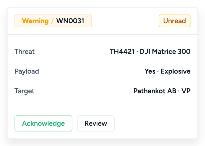
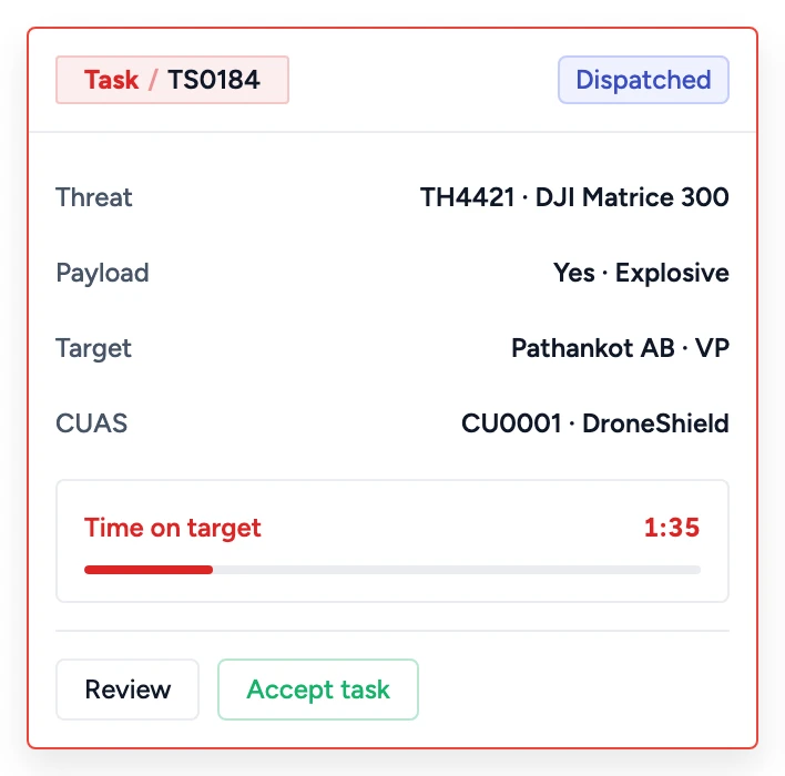
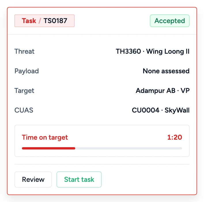
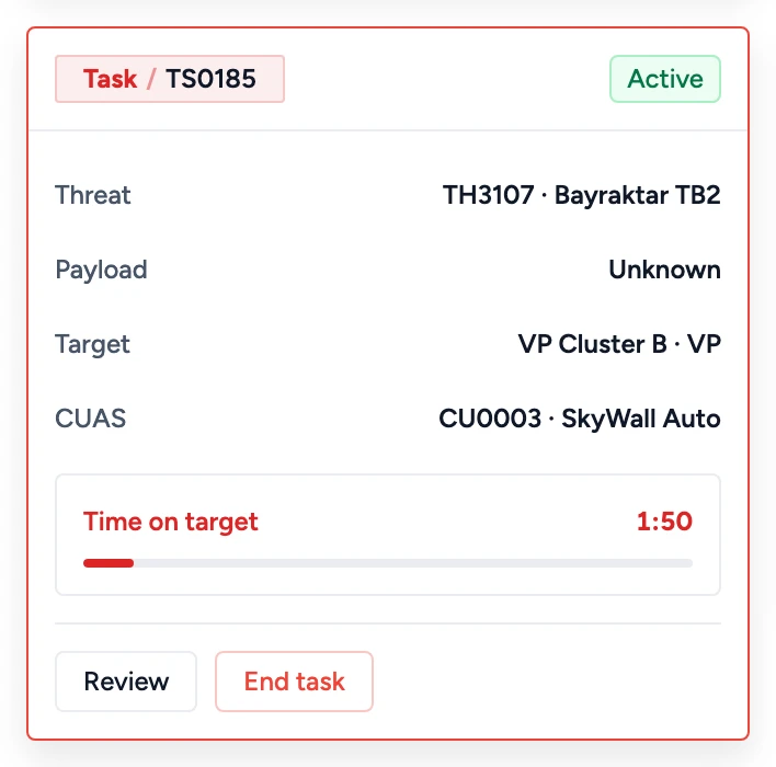
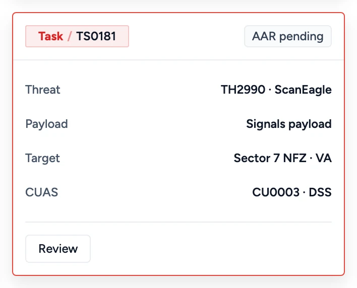
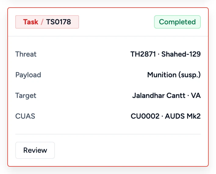
An operator might be making the most important decision of their day, so a warning never pulls them off the map. One floating card follows them from the first alert to the after action review, changing state as it goes. These are the exact cards from Atmos.
Designing in a dimension I’d never worked in
I had never designed 3D, had no modelling tools and no 3D artist, yet the map needed dozens of objects.
So I learned NATO symbology and affiliation colours, then built each model in code with AI so it stays light on a live map, each with a flat 2D twin. Here are nine; click one to turn it around.
The outcome
We built Atmos for a real pilot, not a prototype, and completed it successfully on the ground in front of the army. 12 of 13 live scenarios ran end to end, from first detection to engagement directive.
What’s left is hardware integration with some UAS and C-UAS systems. That’s what we’re solving next.
What I’d love to talk about
The best part can’t go on a website. If you’re building something hard, I’d love to walk you through what we chose, gave up and learned.